Request for Collaboration: Amazon Forest Satellite Scan
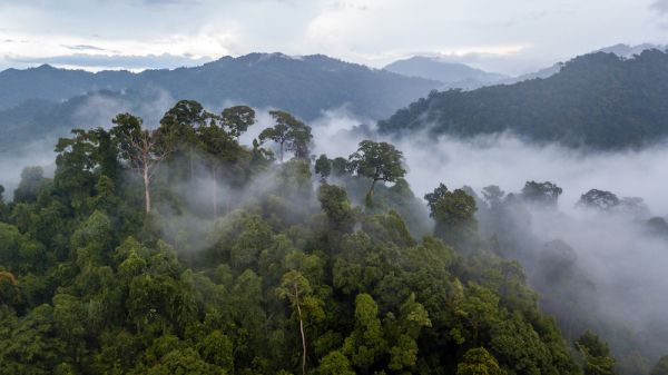

A conservation biologist is completing a massive study on the environmental crisis in the Amazon, and would like to recruit students for a satellite survey project tracking deforestation. Volunteer classrooms use Google Earth to scan designated areas of the Amazon. They will record evidence of industrial agricultural expansion (pivot irrigation, breeder farms). After reviewing the assigned tract of land, classes will submit their findings, which will be incorporated into the coming chapter of the publication 'A Perfect Storm in the Amazon Wilderness.'
It is real (and hopefully impactful) research on the environmental crisis that should also be a fun project for a couple of dedicated students or a larger and well-organized group.
I began this project with my local middle school, but we did not get far since it's a project better suited to high school or college students. The Piedmont Unified School District shared the story of my school's experience with this project. Four chapters from Tim Killeen's book, A Perfect Storm in the Amazon Wilderness - Success and Failure in the Fight to Save an Ecosystem of Critical Importance to the Planet, have been released and are available to read. I might add that Tim has a solid academic pedigree as well as deep experience in the field as a conservation biologist. Included is a collection of Research Articles by Tim Killeen.
To get involved in this project and find out more, email Alex Freemon.