Creating ArcGIS StoryMaps with Billion Oyster Project

This is a professional learning session for classroom teachers.
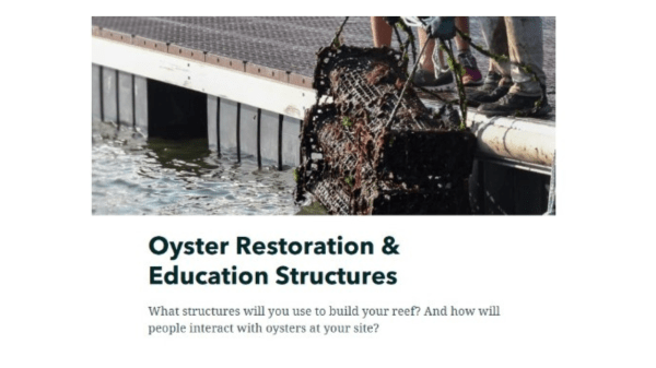
ArcGIS StoryMaps are a digital resource for creating engaging, interactive, and beautiful presentations using ArcGIS. In this online session, you'll learn how to incorporate StoryMaps into your classroom by creating a StoryMap of your own alongside Billion Oyster Project! 3 hours of CTLE credit are available to participants of the workshop.
The goals of this workshop include:
- learning through hands-on, virtual activities how to create a StoryMap with students in your classroom
- exploring BOP’s accompanying curricular mapping unit on oyster restoration
- connecting with other BOP teachers

Comments
If you attended this workshop, tell us how it went! What were your key takeaways?